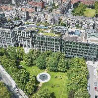
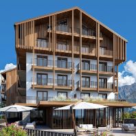
At this moment all planned urban and rural developments in the Netherlands for the next decades are inventarized again. Several kinds of planned developments are eligible for presentation on the New Map. These are for instance residential, business and infrastructure developments. But also plans for urban restructuring, new recreational resorts and new nature reserves.
With the cooperation of the municipalities, provinces, national government departments and urban design bureaus the Foundation the New Map of the Netherlands made a map of the Netherlands in 2005. This map was published in 1997. All spatial plans and developments were presented together on a single map. That map provided an image that could function as a starting point for longterm policy making. The new map proved important for communication about spatial planning to the general public, but the new map also proved to be useful for commercial organizations and governments, who used it for their important policy and investment decisions.
To support the latest planning efforts the projectagency has been busy making a new map of the Netherlands in 2010. Important new additions to the legend of the map are Urban renewal and the plans for watermanagement. The latest versiom of the new map will be presented on the 7th of March 2002 in Muziekcentrum Vredenburg in Utrecht.
Municipalities, provinces, national government departments, water boards and design agencies have been approached to submit their projects to the New Map of the Netherlands. The project agency is almost finished with the completion of the map of the Netherlands in 2010.
(source: Foundation the New Map of the Netherlands)


